Project information
- Category: Machine Learning
- Data: Urban trajectory data
- Project: EU Project SETA
- Methods: Clustering, Consensus Learning, 3D Maps
- Technologies: MATLAB
- Journal 1: Tranportation Research Record
- Journal 2: Nature Scientific Reports
- Code: Open-source GitHub repository
Project details
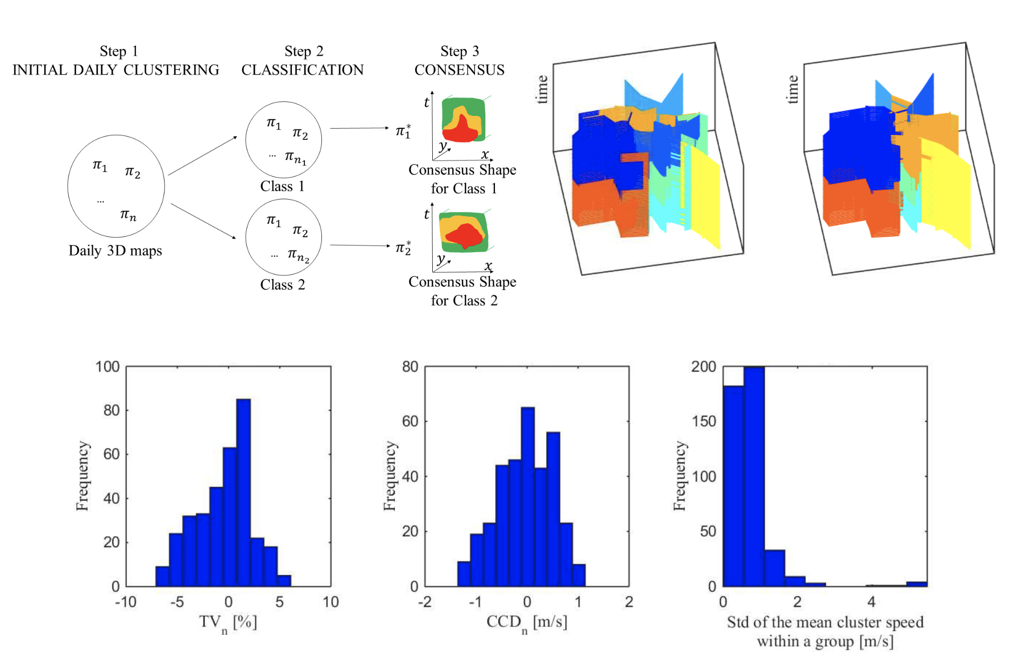
This research investigates urban congestion patterns, using 3D clusters to sketch traffic flow. By grouping similar patterns across days, we created unique global patterns, revealing daily regularities. We found Amsterdam's network over 35 days can be distilled into just four 3D speed maps with nine clusters. Using these maps, we developed a real-time prediction method, accurately estimating travel times for 84% of trips with less than 25% error. This concept reveals a comprehensive and previously hidden view of city-scale traffic dynamics, suggesting more predictable patterns than expected.

